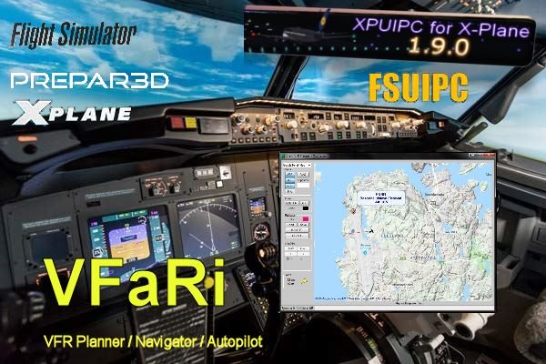
VFaRi
VFR Planner
Navigational
Autopilot
for FSX
and X-Plane |
|
 |
Flying VFR in small props made me looking for something with a map.
All the available software I encountered was to much, or not freeware.
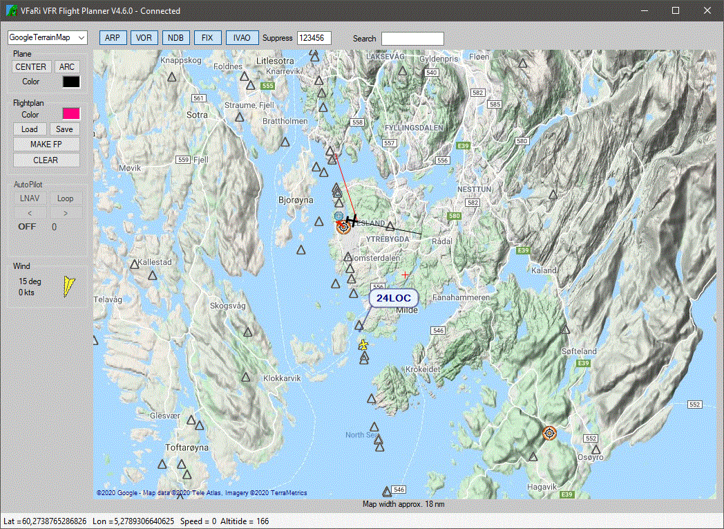
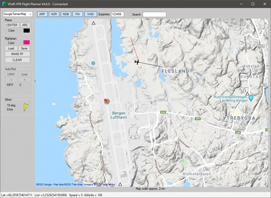
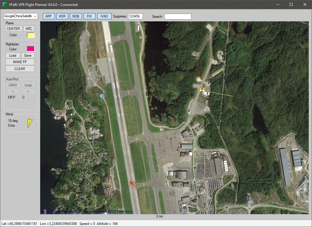
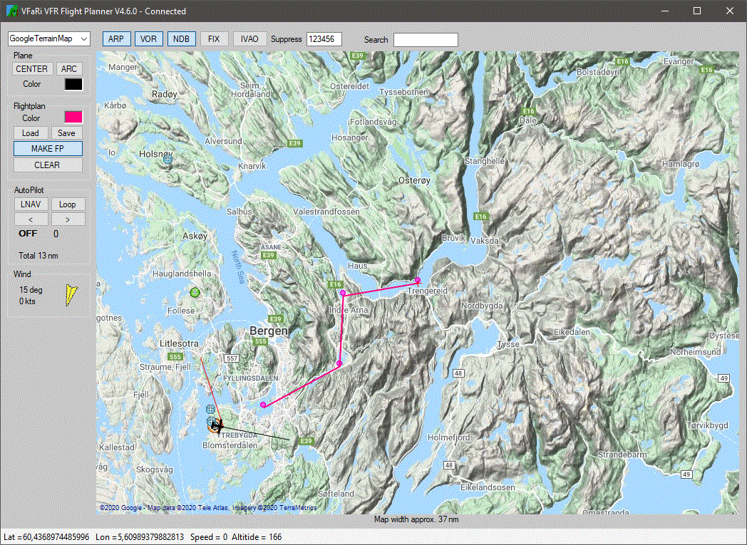
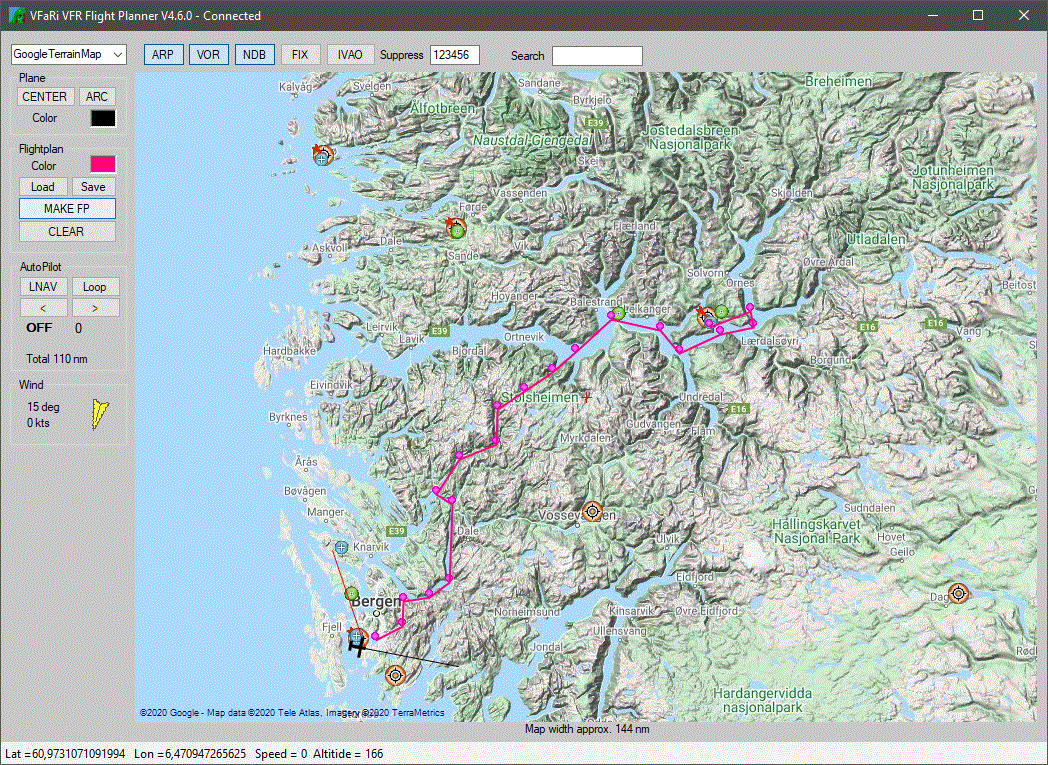
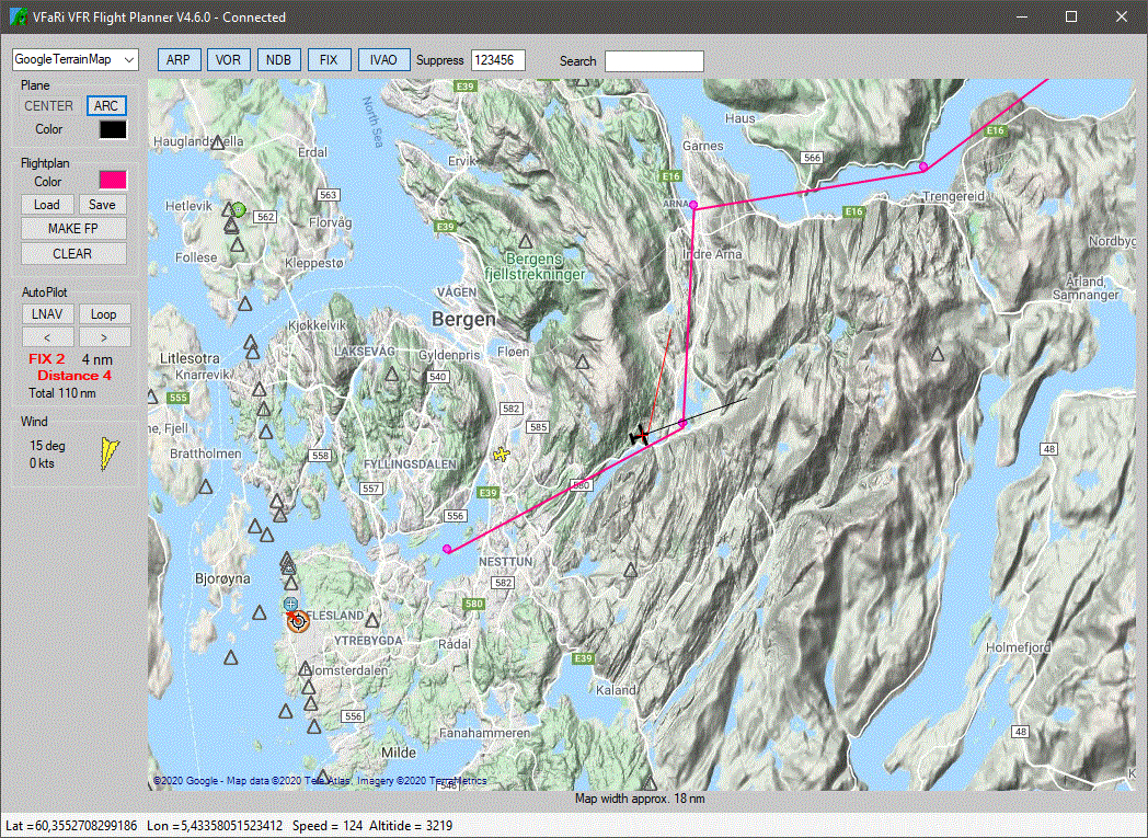
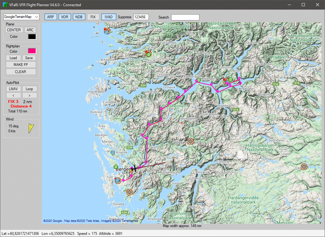
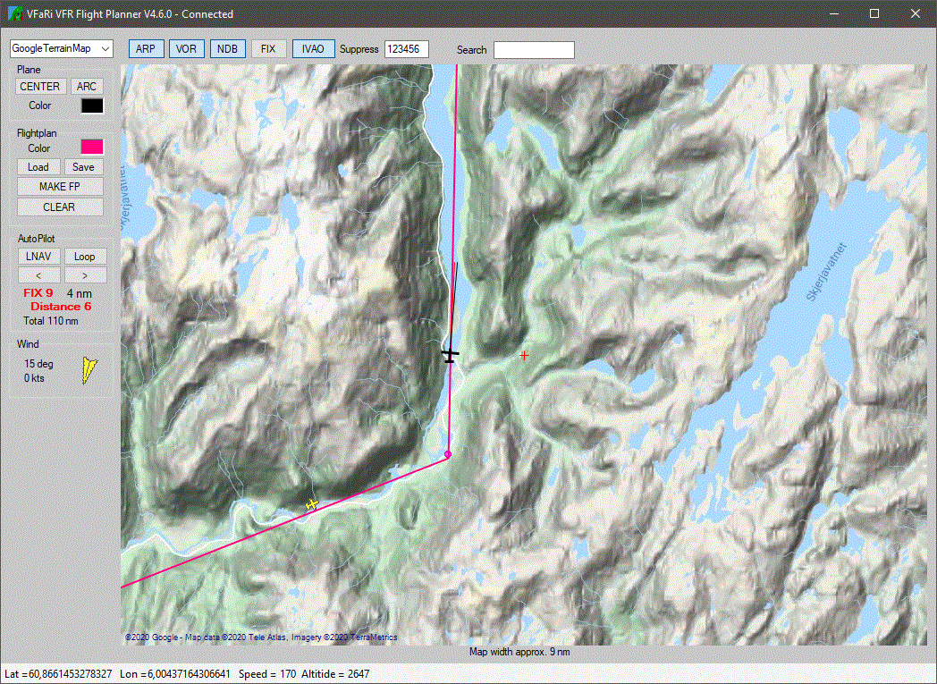
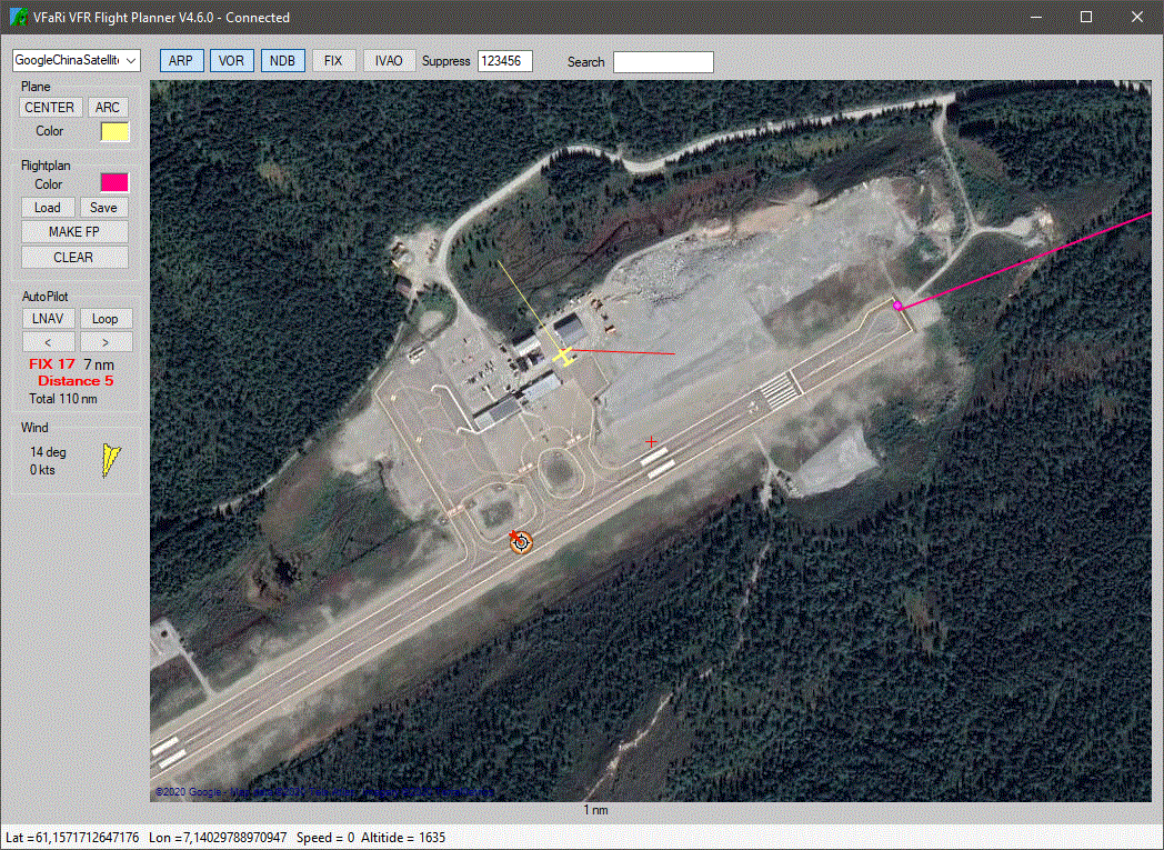
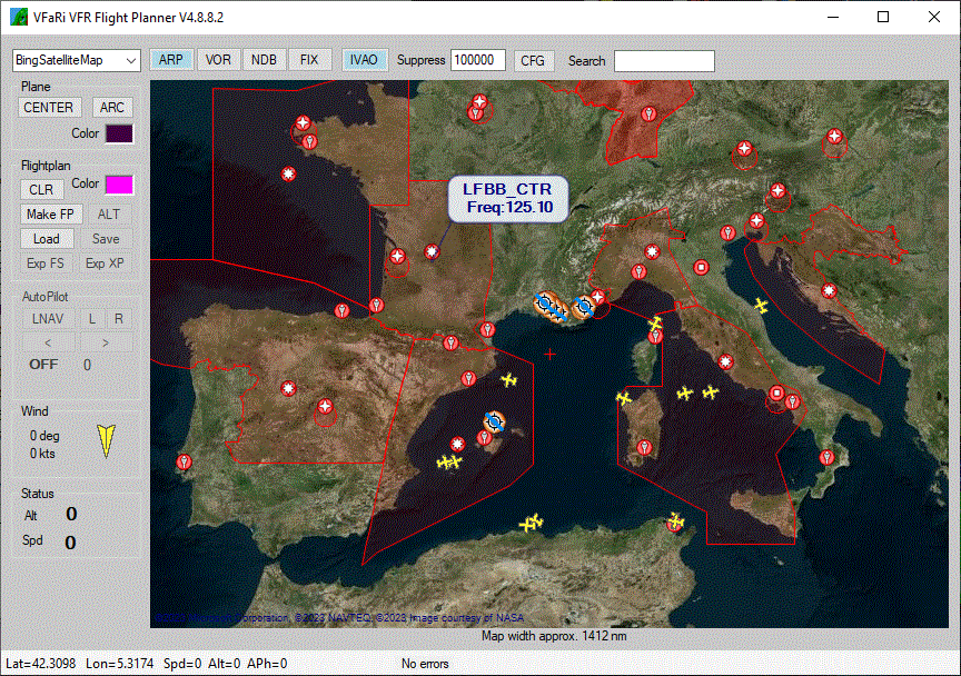
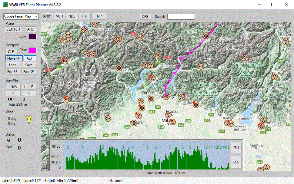
Searching the internet I found the recources to create it myself. The result is a small program created with C# that uses internet maps like Google maps. Then it shows Airfields, VOR's, NDB's and FIXes and some IVAO data from Dolomynum to show IVAO clients.
It can be used to create a simple route, by easy clicks. Then just activate it to control the heading.
Also, a ground altitude map can be viewed with current position and altitude.
It can be used for FSX, P3D, MSFS 2020(FSUIPC) and X-Plane(XPUIPC) 10 to 12.
Click on the pictures for a large view.

The newest VFaRi version can be obtained by emailing me.....
|